

This action was initially oriented towards the preparation of a specific cartographic viewer accessible from the web, which would allow to arrange and visualize layers of geographic information, make spatial queries about limits, values of the Natura 2000 areas, their habitats and species of interest, measures of management, etc.
Although this action is included in preparatory works, its main objective is to disseminate all the cartographic information generated in the MedWetRivers project, mainly coming from the actions A1, A2, A3, A4, A5, A6 and A7.
For the best exploration purposes of this action, a prototype of the viewer was prepared using the ESRI ArcGIS online platform.
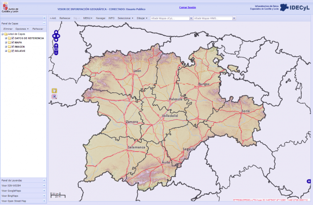
The pace of development of the tasks within this action, conditioned by the own rhythm of execution of the actions that would feed the contents of the cartographic viewer, and above all, by the verification that the Spatial Data Infrastructure of Castilla y León (IDECYL) ) is perfectly adequate to accommodate the information intended to be housed in the planned cartographic viewer, which has led to the final decision not to develop a specific cartographic viewer, but to use the existing infrastructure (IDECYL) managed by the JCyL.
In any case, the initial online work executed in ArcGIS, served as a preemption to determine the specific functionalities that are required to obtain. The results of this task are operative at the following address:
http://www.arcgis.com/home/search.html?q=medwetrivers&t=content
The provision on the IDECYL platform of the cartographic information generated by the project, will be very useful for the processes of evaluation and reviewing of the instruments already approved for planning, management and monitoring of the Natura 2000 protected areas in Castilla y León.